

A mere 60 miles from San Diego lies the Cleveland National Forest, a playground for hikers, mountain bikers, horseback riders, and backpackers. We recently spent 2 nights at the Laguna campground (checkout my review) and hiked various trails in the area.

We could walk just a few minutes out from our campsite in the Laguna Campground to all of the major trail heads in the area. It was awesome!
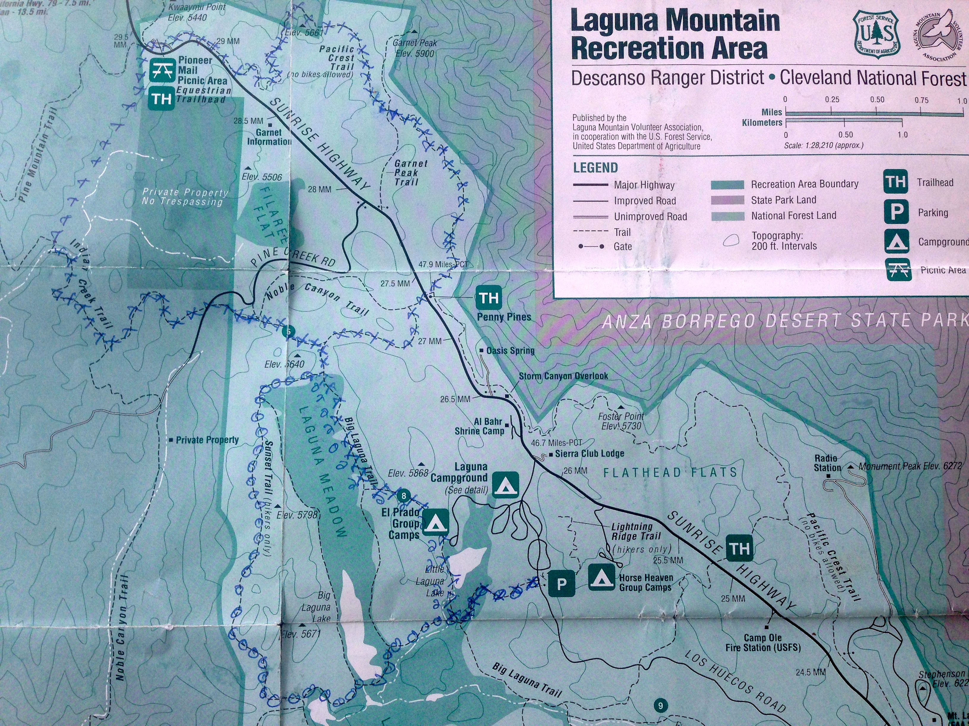
Using our guidebook A Foot and Afield in San Diego County by Jerry Schad and the National Forest map, we trekked across a good portion of the available trails. On the map below, we outlined all of the trails we hiked during our trip (the “O’s” outline the hike for day 1, and the “X’s” outline the hike for day two).
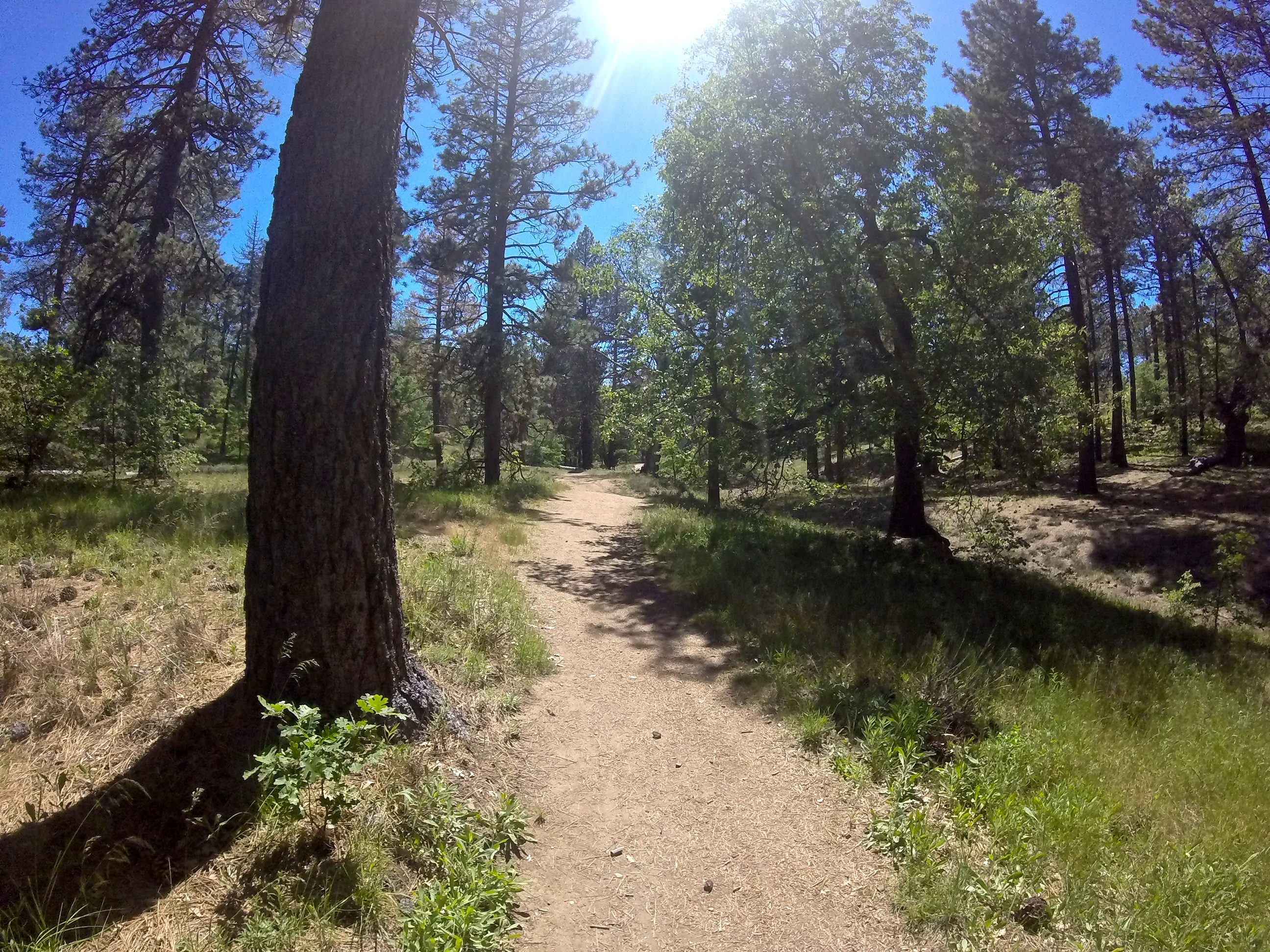
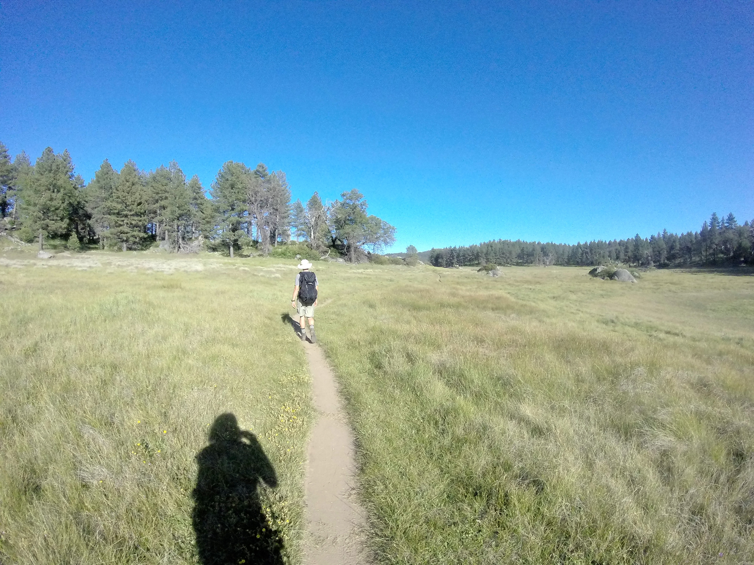
Just a 5 minute walk down the road led us to the Big Laguna trailhead, which we followed to a large, beautiful meadow.


The meadows normally have a few small lakes, but due to the drought, all except one were unfortunately dried up. The meadow was peaceful, serene, and a delight to walk through. It reminded me of the time we spent in New Zealand and the beautiful meadow we camped in on the Routeburn Track.

We proceeded across and up the meadow to a trail that led us north into the forest and eventually to another large meadow.


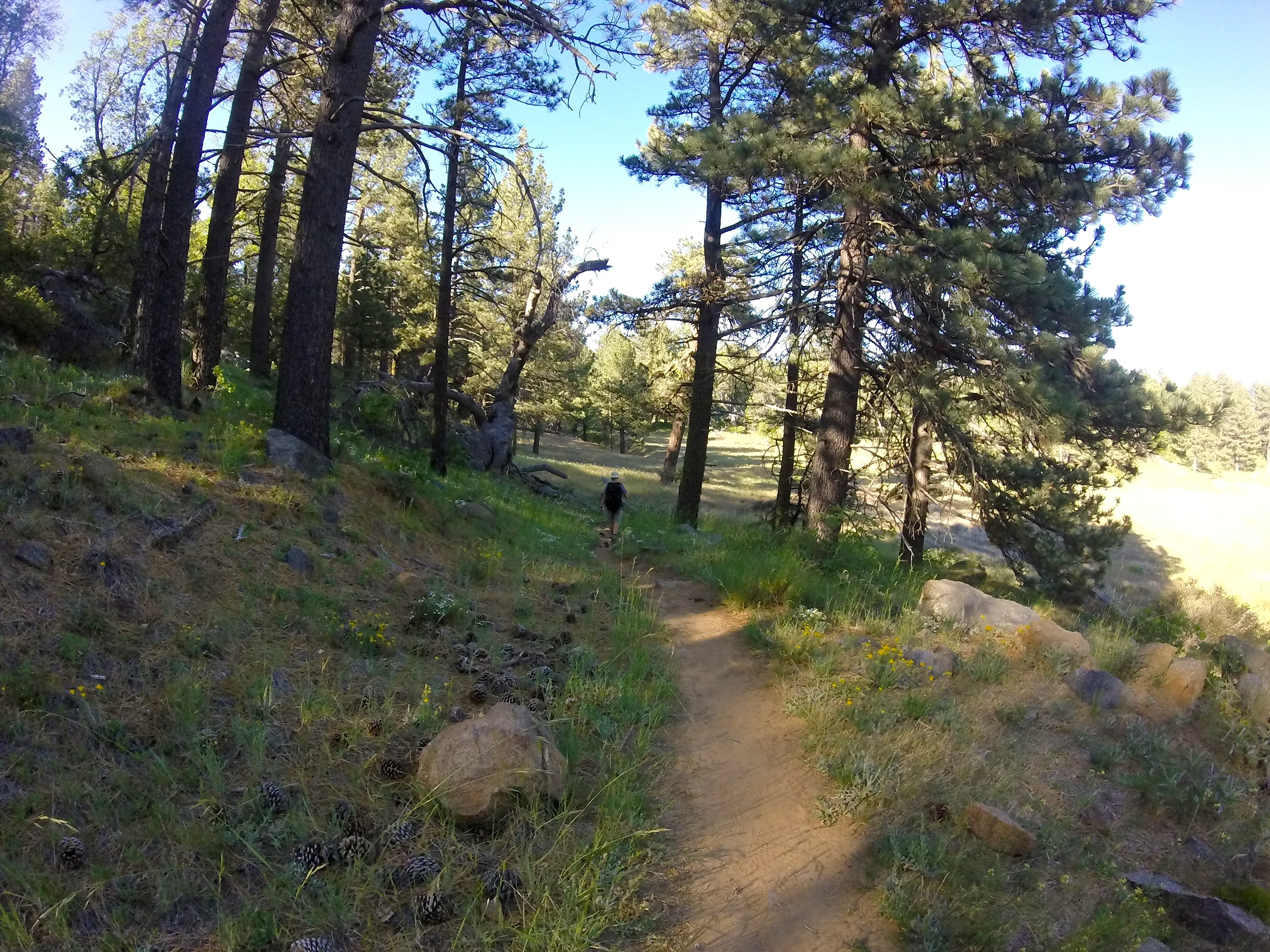
We followed the Big Laguna Trail up toward Noble Canyon, but split off to take the Sunset Trail before getting to the Noble Canyon Trail intersection.


We walked the Sunset Trail through the forest and up on to the ridge where there were a few spots you could walk off the trail to the west and find a beautiful view toward San Diego.


We followed Sunset Trail down the rest of the way back toward the meadow and to the intersection to the Big Laguna Trail and then back to the campground.


The total approximate mileage for the hike was probably about 7 miles.
The following day we embarked on an all day adventure and covered A LOT of ground (the “X’s” on the map above). Once again, we started out on the Big Laguna Trail, but kept going past the junction for the Sunset Trail to the Noble Canyon Trail intersection.


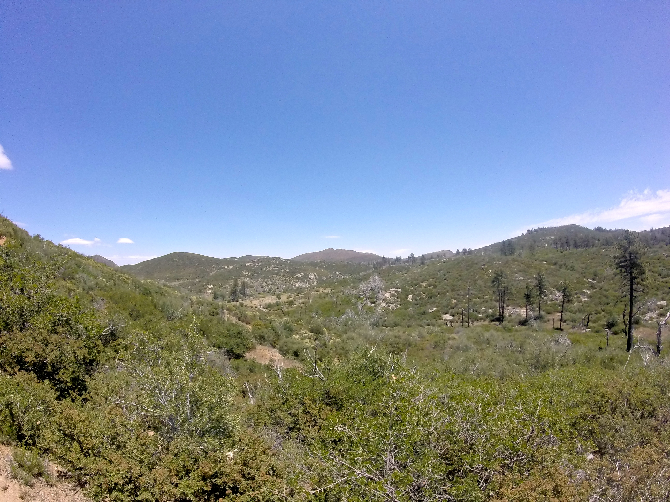
We took the Noble Canyon Trail to the junction of Indian Creek Trail, and then followed the Indian Creek trail until we hit the (dried up) creek.


Across the creek, we picked up a dirt road that took us over to Sunrise Highway, which we crossed to reach the Pioneer Mail Picnic area for lunch.


From the picnic area, we picked up the Pacific Crest Trail (PCT), hiked along the edge of the mountains above the desert below, past Garnet Peak, and to the Penny Pines Trailhead area.


The PCT!


From Penny Pines Trailhead, we crossed Sunrise Highway to pick up the Big Laguna trail back toward the meadows, and to the campground. The total approximate mileage of this hike was about 12-13 miles (my fitbit calculated 35,926 steps for the whole day).
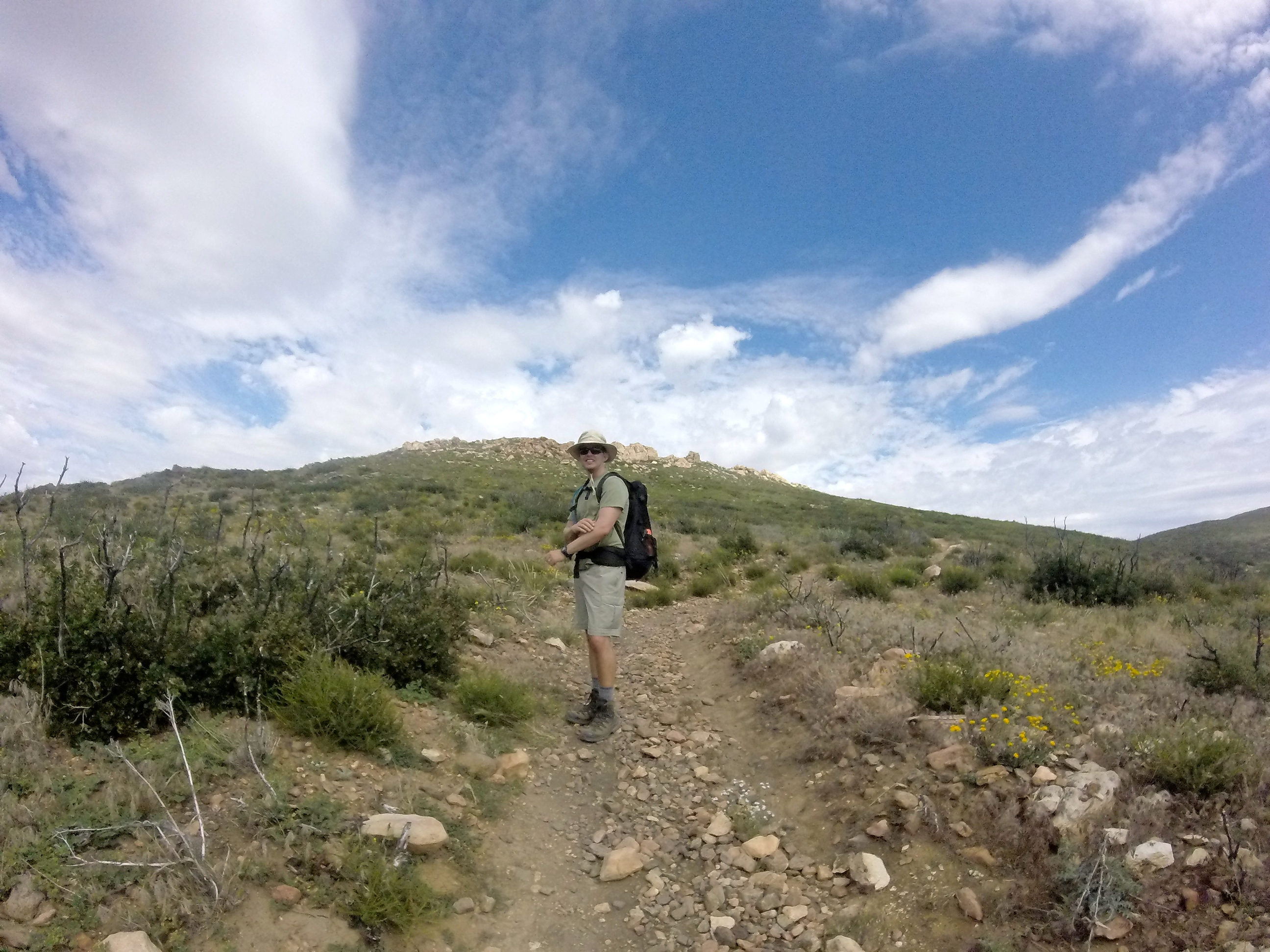
If you wanted to, you could add in the Garnet Peak trail off the PCT for a better view of the forest and desert, but it was very hot on this side of the trail, and it was a bit hazy that day. It didn’t seem worth the extra effort for the distance we would be able to see from the peak that day.

Garnet Peak
The views off this side of the PCT trail are dramatic, as you are right on the edge of the 5,000 foot tall mountains that drop to the desert floor below.


The hike we did takes you through beautiful meadows, forest, creeks, grassland, desert-like landscape, and includes great views of the mountains, forest, and desert lands to the east. We felt like we really experienced a significant portion of the Cleveland National Forest and were able to hike some of the best trails in the area. I would highly recommend this loop and reference the Afoot and Afield Guide (mentioned at the top of the post) for more information on this hike as well as other great hikes in the area.


